
|
|
| Home | Mapping Services | Photogrammetry | About Us | Technical info | For Sale | Clients | Contact us |
Technical Information
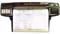
The raw digital map data is processed and refined at the plotter stations with KLT Atlas and Datem editing software. The final digital map files are translated to AutoCAD system format. |
|
San-Lo Aerial Surveys, 1130 D Street, Suite 7, Ramona, CA 92065-0543 Tel: (858) 565-1024 Email: 460san-lo@san-lo.com 460san-lo@san-lo.com |
 Digital map data is compiled from aerial photography at two computer assisted stations consisting of a Datem Digital mapping system and a KLT Atlas Digital Stereo Plotter with Digital Orthophoto capability.